
The range of systems available to support geoscience research includes:
- A sub-bottom profiler to generate images of the layers of seabed sediments up to 200 metres thick, to help identify sediment types suitable for coring.
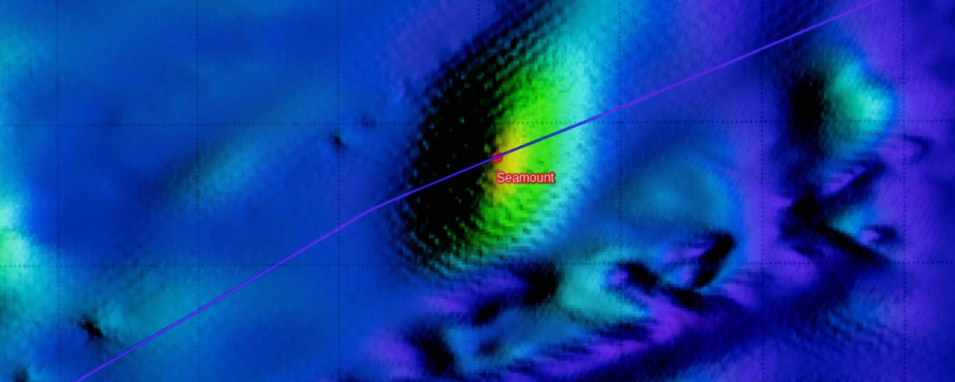
- Multibeam echosounders for deep water and high resolution swath mapping, used to produce maps of the seabed and help understand the geological, glacial and volcanic history of the study area.
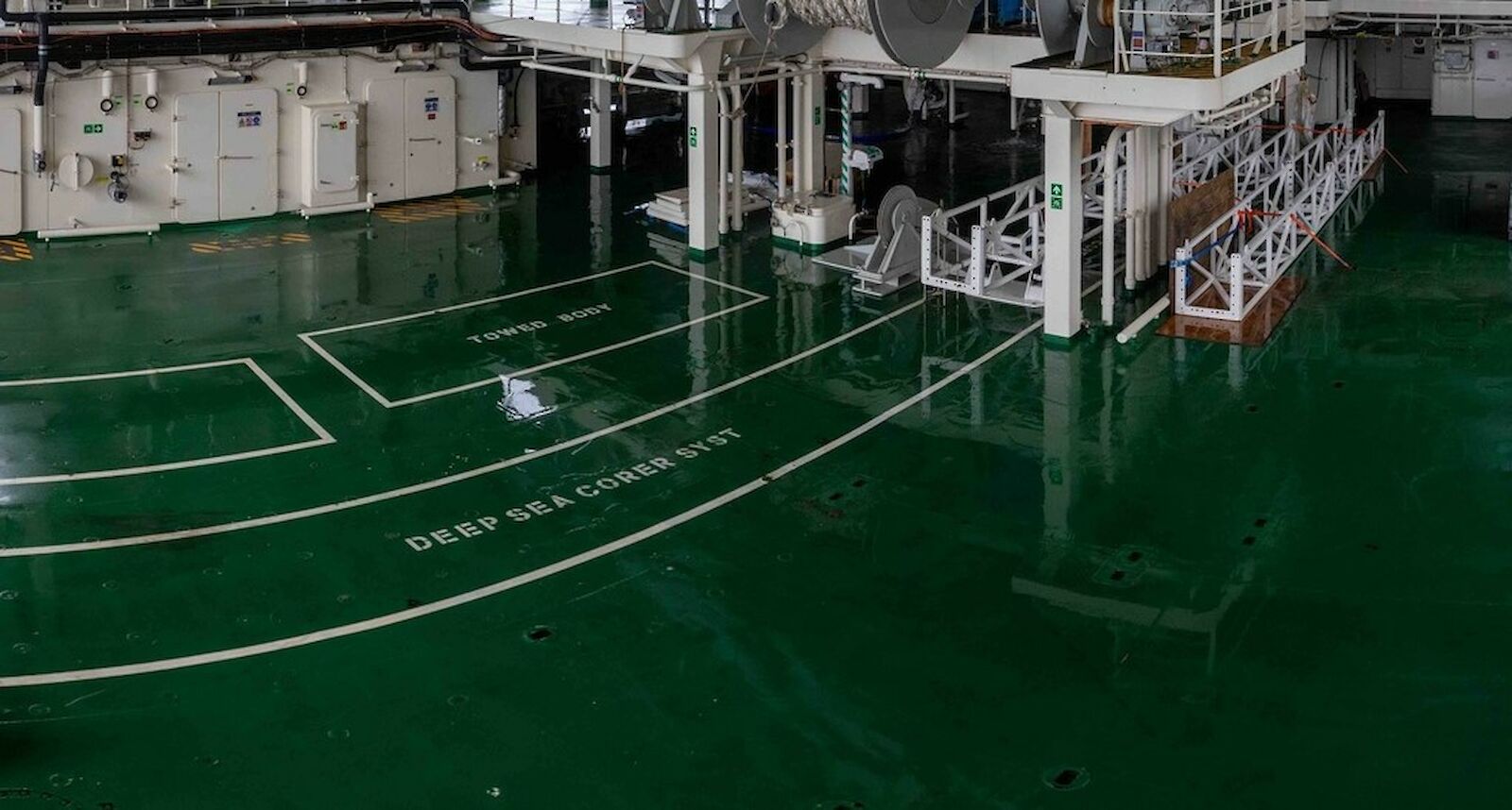
- A cradle on the aft deck for the deployment of piston and gravity corers that can collect sediment cores up to 24 metres long. The cradle will work in combination with the ship’s 30 tonne capable A-frame and a deep sea coring winch with 8,500 metres of synthetic rope.
- A multi-purpose overhead crane that can move equipment around the aft deck and deploy the cradle and corer directly over the stern of the ship.
- Side towing booms that can tow equipment such as a seismic hydrophone array. These arrays emit sound that penetrates beneath sediment layers, to study the structure of the bedrock below.
- A matrix of points on the aft deck to secure bespoke containers and equipment, such as winches and deployment systems for international geoscience projects.
- Support for 14 science containers, eight with comprehensive scientific services including different water supplies, power, refrigeration, alarms and network connections. Two container locations will support high powered seismic compressors.
- Multiple high power electrical outlets for powering additional winches and deployment systems such as remote seabed rock drills, used to collect rock samples, and robotic drill rigs to obtain samples over 100 metres into the seabed.
- The moon pool can be used to deploy equipment when in heavy ice, potentially allowing rock or sediment sampling in areas most ships can’t access.
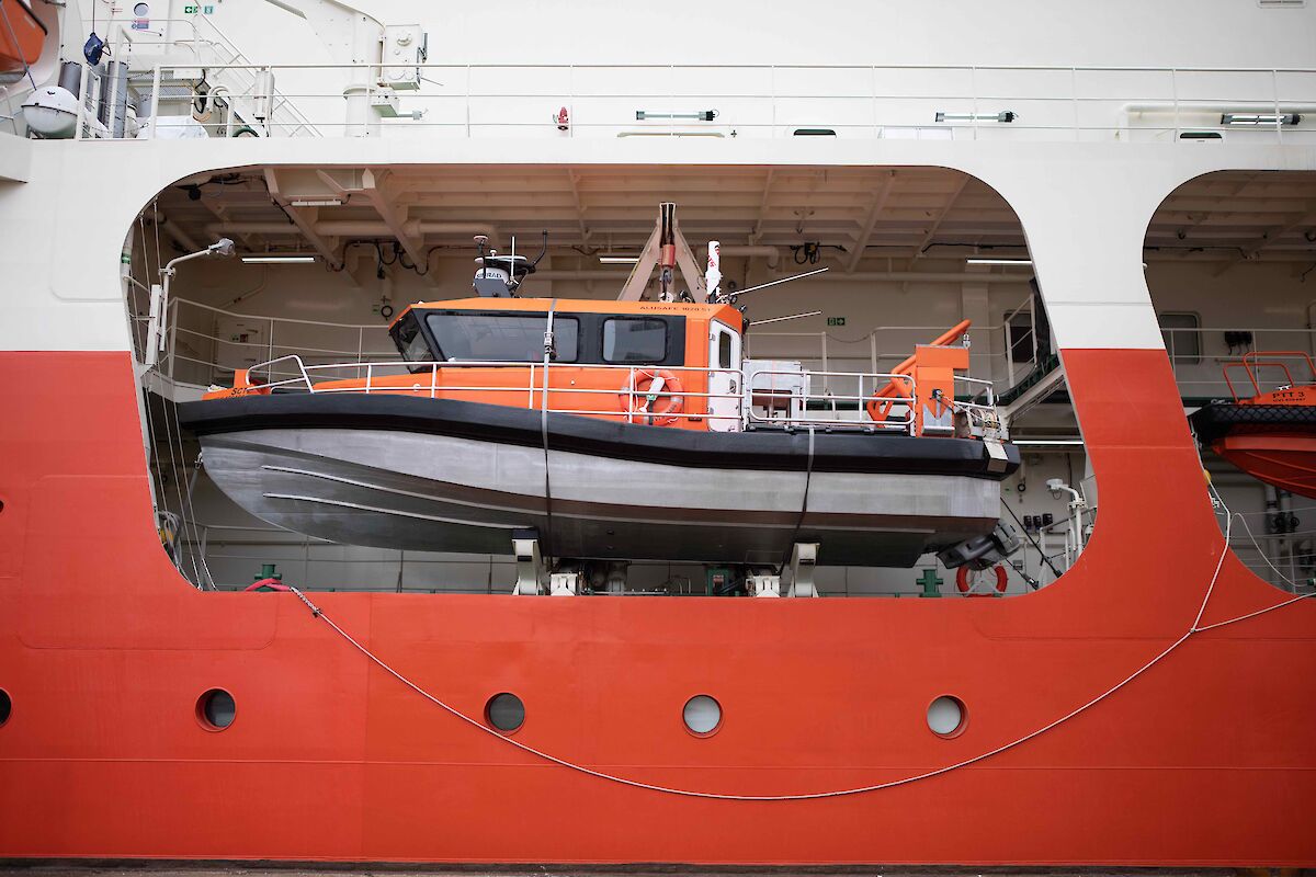
- Access to the science tender for habitat mapping, charting and sub-bottom profiling.
- Access to high speed optical cable data transfer from deep sea towed bodies, dredges and sledges, allowing real time video and acoustic information.