
An orthophoto is an aerial image that has been corrected for the effects of camera lens tilt and other aberrations, image scale variations and displacement of objects due to ground relief. Images are seamlessly joined to make a map. They can be regenerated at any scale and have their colour or contrast enhanced so that the user has the double benefit of a map’s positional accuracy and the detailed visual information of a photograph.
Making an orthophoto involves five basic steps: (1) aerial photography using sensors aboard aircraft or on satellites, (2) rectifying the image using ground control points, (3) joining images in a mosaic and removing seams, (4) compiling the orthophoto with title block, imagery source diagram and origin of the imagery, and (5) printing on high quality printers.
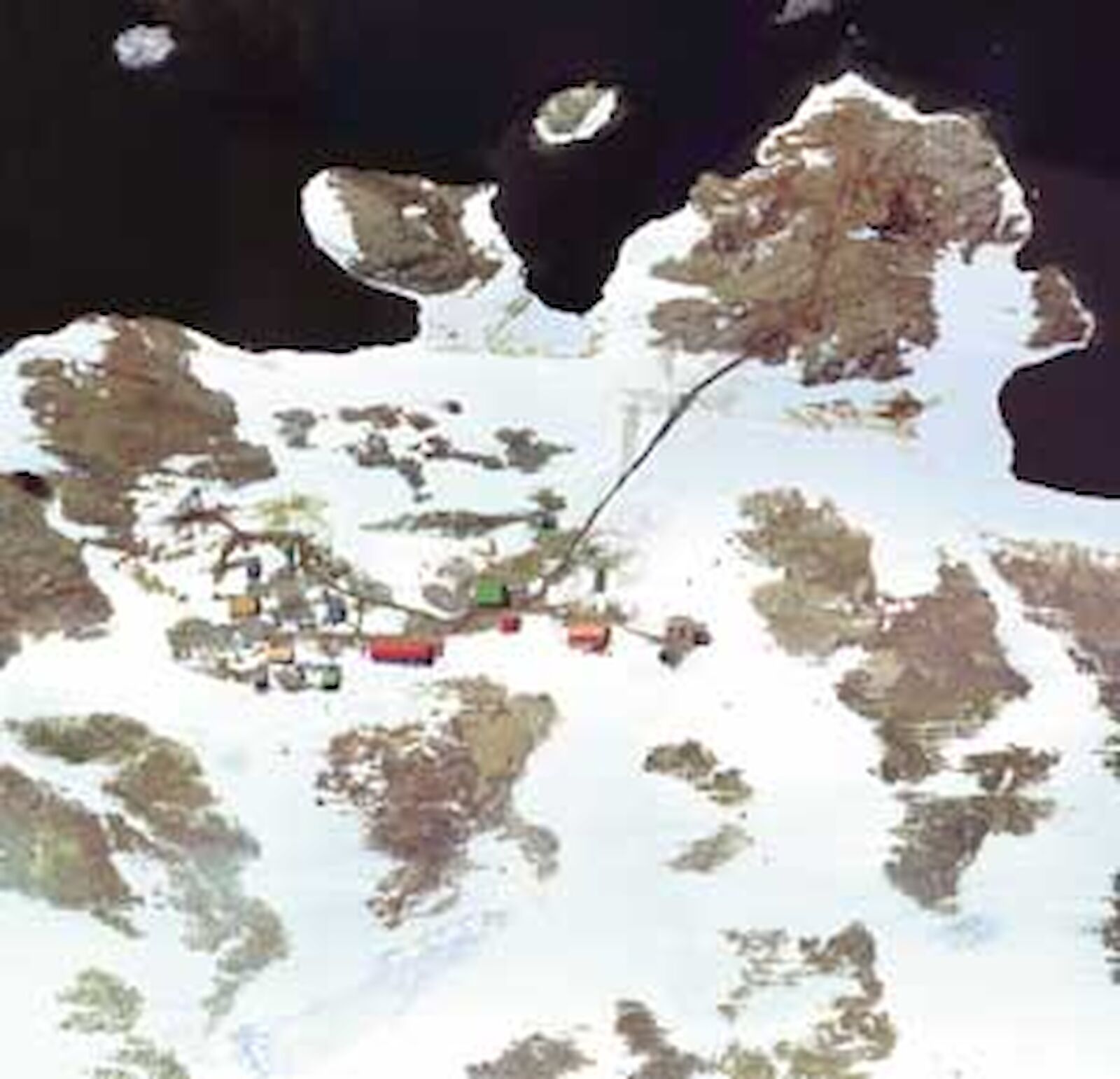
Antarctic weather, availability of logistics and personnel, and the short time span when rocky areas are free of snow severely limit opportunities for Antarctic aerial photography. Aerial photographs of Australia’s Antarctic stations are obtained as regularly as possible to ensure current records of station surroundings and buildings.
This Casey station orthophoto map was compiled from aerial photography on 30 December 2000, when rocky areas were relatively snow-free. The photography anticipated the need for a large scale map for remediation of the Thala Valley tip site, which was also mapped in detail from the same aerial photography. The flight coincided with a ground survey of Thala Valley and the road linking the station with ‘old Casey’ and the wharf area.
Henk Brolsma,
Mapping Officer, AAD