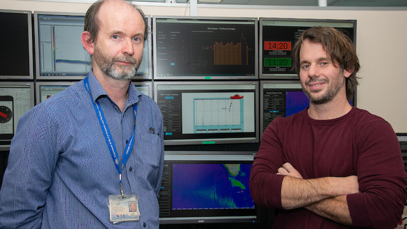
‘Data In Real Time’ is a new web service developed by the Australian Antarctic Division’s Science Technical Support Team, allowing scientists, voyage managers, crew and expeditioners to receive data from scientific instruments via their mobile phones or laptops, anywhere on the ship.
They can also get the latest information on the ship’s position, the air and water temperatures, and wind speeds.
Technical Services Manager, Lloyd Symonds, said the new service means scientists don’t need to stay glued to a single computer screen during long deployments of oceanographic equipment, such as trawl nets and conductivity, temperature and depth (CTD) probes.
“DIRT is an aggregator of data — so it takes complex information from our scientific displays, as well as the ship’s underway data, and distils the essential information into something more accessible,” Mr Symonds said.
“No matter where people are on the ship, they can now see, for example, how long a deployment has to run, so that they can continue doing other things, whether that be other work or watching a movie on their bunk.
“Then, when the deployment needs attention, the relevant personnel can go to the science control room and complete the job.”
Once in the control room, scientists can view DIRT and information from other scientific equipment across eight computer screens.
For krill scientists, the technology allows them to view acoustic echosounder data — which bounces off krill swarms beneath the ship and appears as bright blobs on the computer screen.
They can then make decisions about when to deploy a net, as well as when to open and close it to get the maximum amount of krill.
The technology can also store data to replay later, for training purposes. Mr Symonds and his colleague, electronics engineer Michael Santarossa, have developed software to allow scientists to practice complex oceanographic deployments using this stored data.
“Often the first time people see the computer screen on the ship is when they need to deploy a krill net or CTD, and they don’t know which button to push,” Mr Santarossa said.
“With this technology we can bring them into our office at Kingston and show them how it all works. For example, we can use echosounder data from a voyage to help them line up a virtual krill net on a virtual ship to catch the krill in real time.
“While it’s not exactly the same, it gives people a greater chance of getting it right on the day.”
The challenge now is to adapt the software for the new ship, RSV Nuyina, which is expected to begin Antarctic operations in late 2020.
“The Nuyina will have 18 screens in the science control room, rather than eight, so we’ll have the capacity to display a diversity of data that we can’t display on the Aurora Australis,” Mr Symonds said.
“We can develop new screens fairly rapidly and we’ve come up with a system where people can design their own screens.
“But our biggest challenge is to understand each of the instruments on the new ship and develop the on board displays, as well as the simulation software for training.”
They will also have to contend with a larger volume of data being collected.
“The Aurora Australis tells us the GPS position of the ship once per second, but the Nuyina will tell us our position between 10 and 100 times per second,” Mr Symonds said.
The pair are working with a team from the Marine National Facility RV Investigator, which has some of the same instrumentation as Nuyina, allowing them to access example data and software.
It’s a big job, but no one ever said getting the latest DIRT would be easy.
Wendy Pyper
Australian Antarctic Division

