
The Prince Charles Mountains are the largest chain of rocky outcrops in Australia’s Antarctic Territory and extend from near the coast to over 600km inland. At first glance, they do not appear to harbor much plant and animal life, though rare mosses, lichens, mites and tardigrades have been documented from a few locations. From a biological perspective, the Prince Charles Mountains are among the least known places of Antarctica, and there has been little study on the natural processes driving biodiversity in this region, until now.
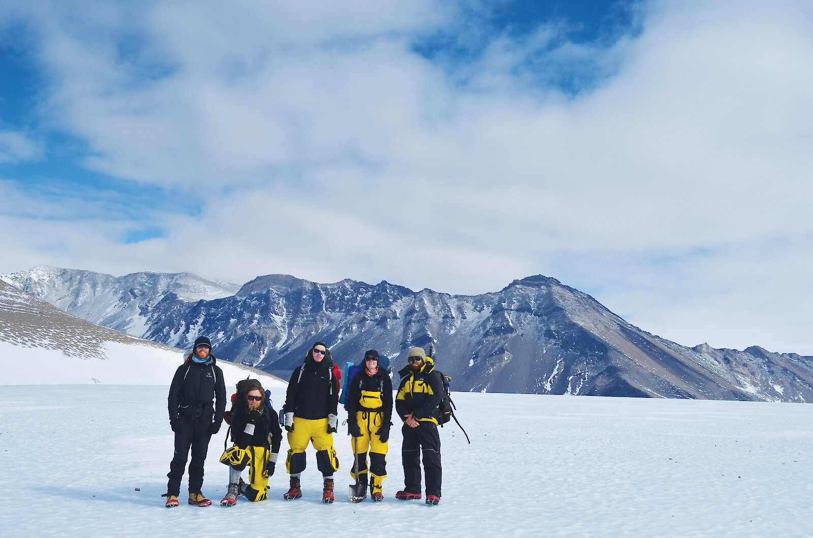
During the 2011–12 field season our six-person research team set out on a three-month campaign to explore the biodiversity and to address fundamental biogeographic questions about life-forms eking out their existence in the mountains. We wanted to find out what types of creatures exist, and to understand the ecological, evolutionary and geological processes influencing their distribution and genetic diversity. Some of the controlling factors we considered were water and sunlight availability, temperature, soil chemistry, rock type and mineralogy, landscape age, altitude, slope angle and aspect, and latitude. Examination of these features benefited from our multidisciplinary team made up of a biologist, bacteriologist, geologist, soil scientist, geomorphologist and field training officer.
Our fieldwork focused on three primary sites: Mount Menzies in the deep south; a dry valley in the Mawson Escarpment; and Lake Terrasovje in the far north. These sites were selected because of their distinctive geomorphic and geologic features, and to provide broad geographic and environmental coverage across the mountains. To guide the biological surveys, each site was subdivided into a hundred or so polygons, or sample ‘tiles’, outlining as many potential habitats and landscape variations as possible. This was done using standard GIS tools and reviewing aerial and satellite images, together with topographic and geologic maps provided by the Australian Antarctic Data Centre.
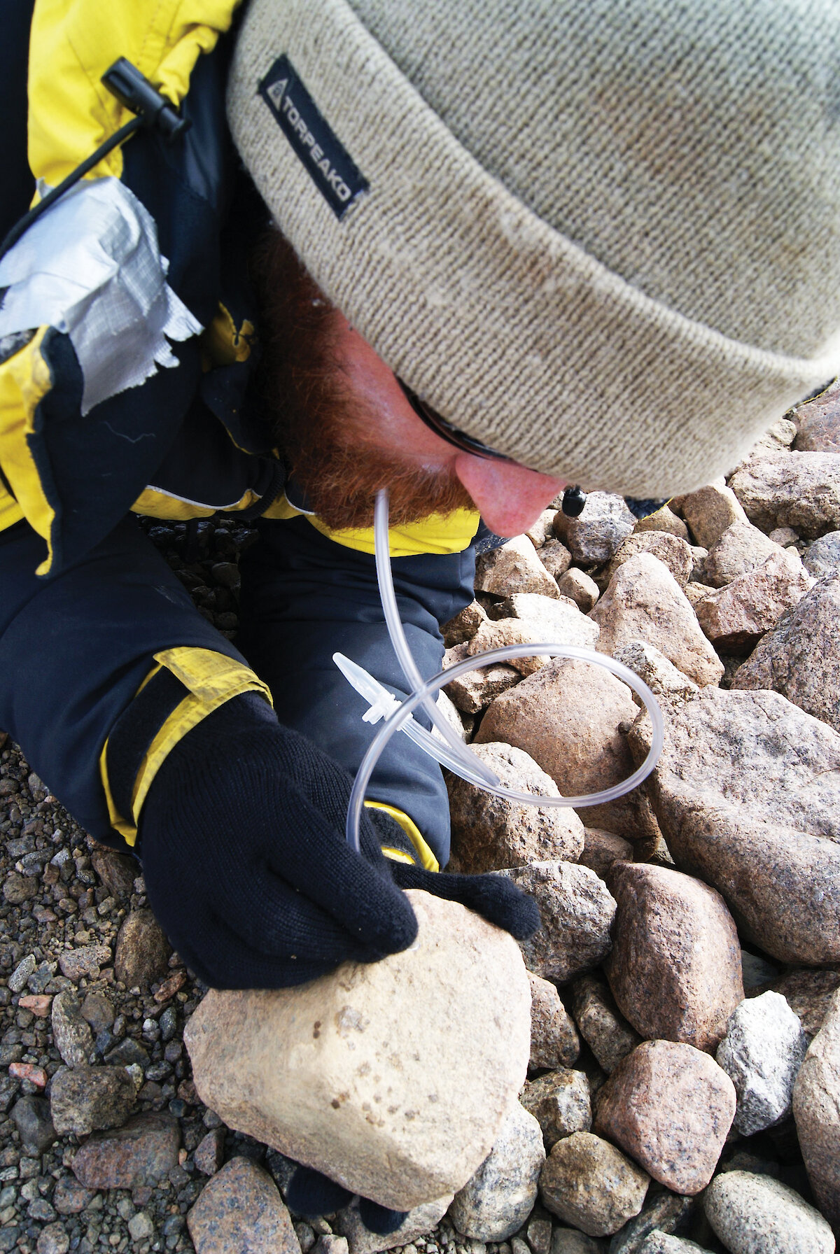
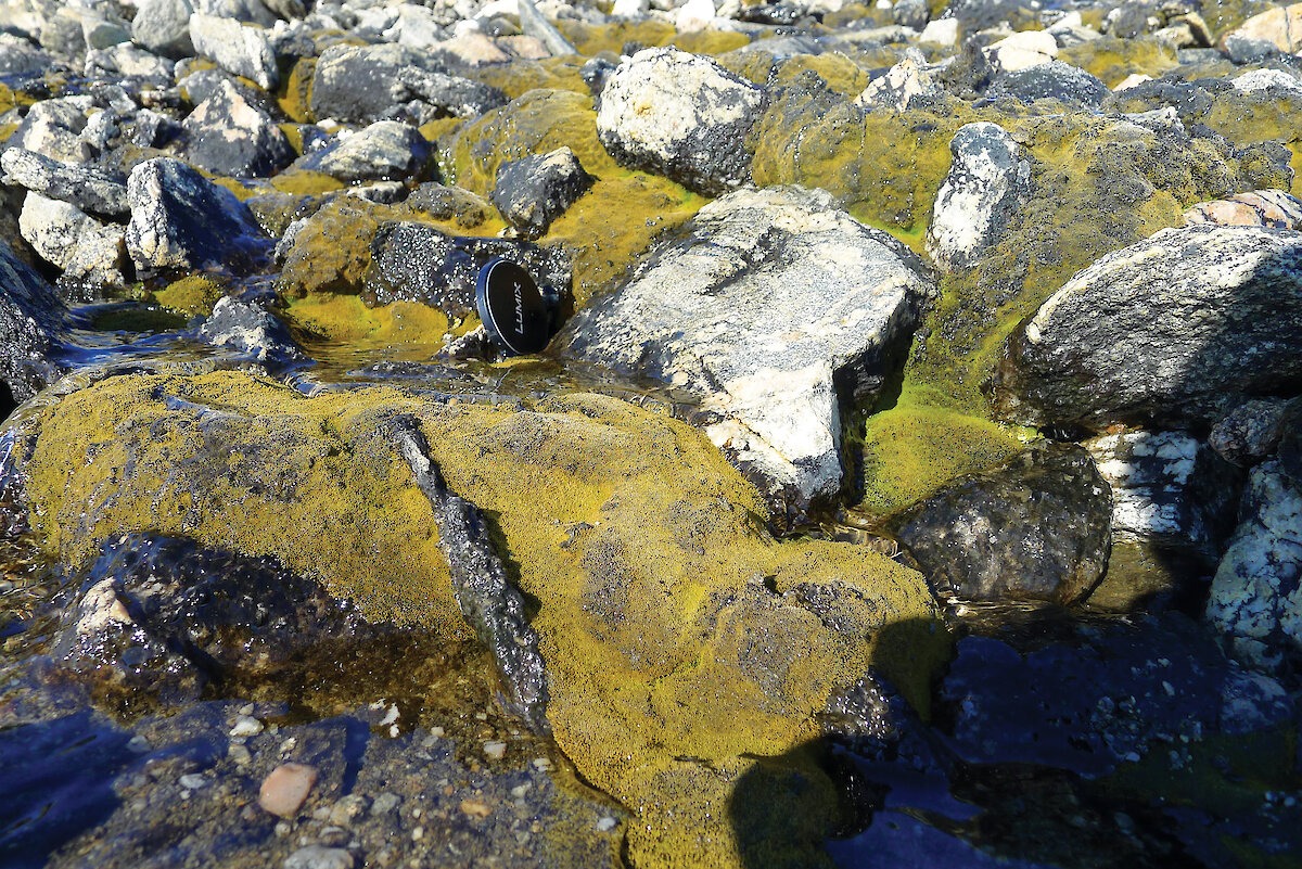
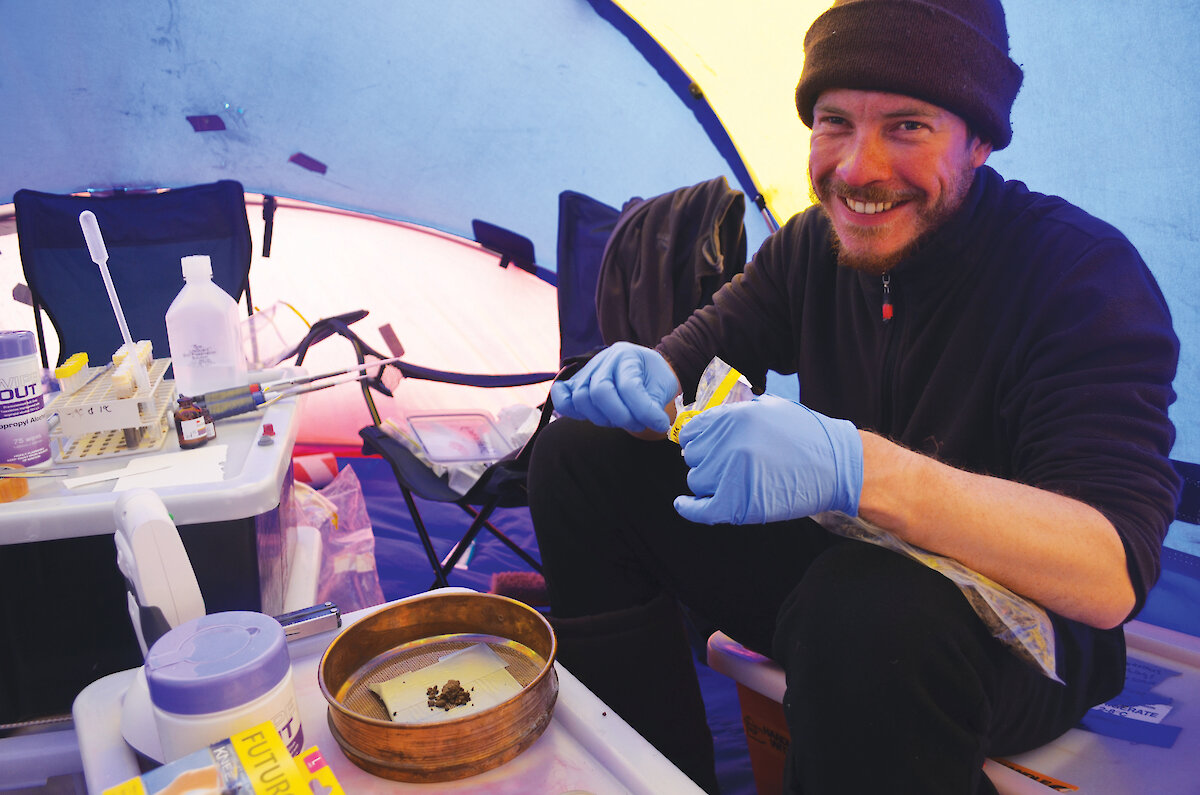
The sampling strategy and methodology essentially followed that of the New Zealand Terrestrial Antarctic Biocomplexity Survey, which has been successfully underway in the McMurdo Dry Valleys since 2008. At each sampling site, geomorphic observations accompanied a visual inspection of lichens, mosses, algae and invertebrates. Air and soil temperatures were recorded, and soil samples were taken. The soils were collected in two bags, one for geochemical work, the other for sorting out micro-invertebrates, and a small fraction was analysed back at camp to determine bacterial activity. Several types of mites found lurking amongst the moss tufts or on the underside of loose stones were captured by sucking them into vials using an aspirator. Diurnal variations in soil temperature were recorded by a series of ‘iButton’ thermometers which were laid out across the sampling area and left to log data for the duration of the field stay.
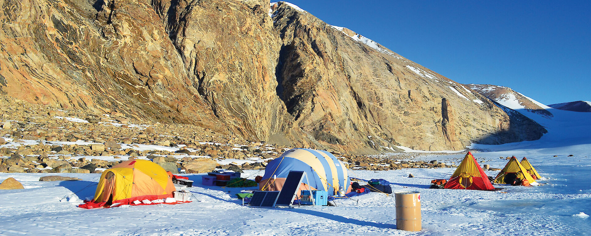
Our sampling activities were conducted on foot out of base camps established for weeks at a time at each of the primary sites. Each day, the group was split into teams trekking up to 15km over moraine boulders, scree and snow, and carrying 10 to 15kg of gear and samples per person. We experienced challenging conditions at Mount Menzies, where temperatures were regularly between −10 and −20°C, and plummeted to nearly −30°C when the mountains cast their shadows in the evening. After facing such cold temperatures, shifting camps from Mount Menzies to the Mawson Escarpment felt like moving to a tropical paradise; we gained an extra 10 degrees of warmth by dropping 1000m in altitude (without any significant change in latitude). The discovery of other signs of visible life enjoying the warmer climate, including mites, quickly followed.
Our work was supported by a Twin Otter aircraft, which ferried people and equipment from Davis station and between camp sites. Helicopters were also available to the project for several days at a time, and were used for exploratory ‘hit-and-run’ sampling of many of the surrounding nunataks including Corry, Crohn, Cumpston and Fisher massifs, as well as mounts Kirkby, Loewe, Woinarski, Meredith, Lanyon and Stinear, Reinbolt Hills, and others.
Overall, more than 275 soil samples were collected from individual sites, with many of them supplemented by mites and botanical specimens. The follow-up work will involve genetic analyses and classification of the soil micro-invertebrates, and could unearth several new species. Examination of the species distributions in conjunction with the large volumes of related field data will then help address questions such as: How related are the organisms to those found elsewhere in Antarctica? What are the linkages, if any, between genetic diversity and the recent (Cenozoic) geologic evolution of the mountains? Are refugial sites present, where organisms have persisted in isolation and evolved to new species over time? What is the relative importance of changes in local climate and other abiotic factors such as landscape age and soil chemistry for influencing the distribution of plants and organisms in Antarctica?
A considerably vast and varied amount of useful fieldwork was accomplished, which for such a small team may perhaps be best attributed to their enthusiasm and the interdisciplinary approach. The success of the project would not have been possible without the planning, operations and logistic support from staff and fellow expeditioners of the Australian Antarctic program.
Adrian Corvino1, Fiona Shanhun1,2, Paul Czechowski1,3, Josh Scarrow1,4, Tessa Williams1,5 and Mark Stevens1,3
1South Australian Museum, Adelaide, Australia
2Lincoln University, Christchurch, New Zealand
3The University of Adelaide, Adelaide, Australia
4The University of Waikato, Hamilton, New Zealand
5University of Canterbury, Christchurch, New Zealand