The coast and mountains of Mac Robertson Land were first sighted by Australia’s Douglas Mawson from the ship Discovery during the British, Australian, New Zealand Antarctic Research Expedition (BANZARE) 1929–31. Following a seaplane reconnaissance on 1 January 1930, Mawson named the new-found territory Mac Robertson Land after Macpherson Robertson, a keen supporter of Australia’s role in Antarctica. The mountains around the region were named after honoured Australian explorers and researchers. Mawson charted the Mac Robertson Land coastline during BANZARE’s second cruise. On 18 February 1931, Mawson landed at Cape Bruce — the first known landing in that region of East Antarctica.
Around the same time, Norwegian whalers were active in the area. The whalers named a number of features in this region including the Framnes Mountains.
From 1946 to 1947 during the ‘Operation Highjump’ expedition, the United States took aerial photographs of the region. These photographs were used by the Australian Antarctic Division’s first director Phillip Law to select possible places to establish Australia’s first over-wintering station on the Antarctic continent. Law identified the coast at Horseshoe Harbour as the first choice for a station sited on rock.
Australia’s first Antarctic station
Law obtained approval to mount a voyage to Antarctica in the summer of 1953–54 aboard the Kista Dan. The ship sailed from Australia to Mac Robertson Land via Heard Island, where the expedition collected men and dogs from the party wintering on the island.
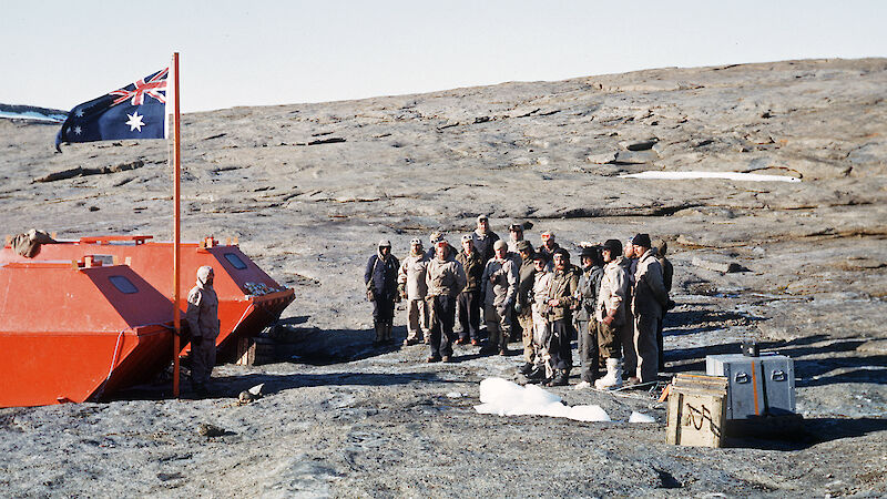
On 13 February 1954, Law reached Horseshoe Harbour and raised the Australian flag naming the new station in honour of Australia’s polar explorer, Douglas Mawson. In the first year, a party of 10 Australians spent winter in cramped accommodation. By the end of 1954, they had erected the Living Quarters, the Works Hut, the Engine Shed, two Store Huts and a Carpenter’s Shop.
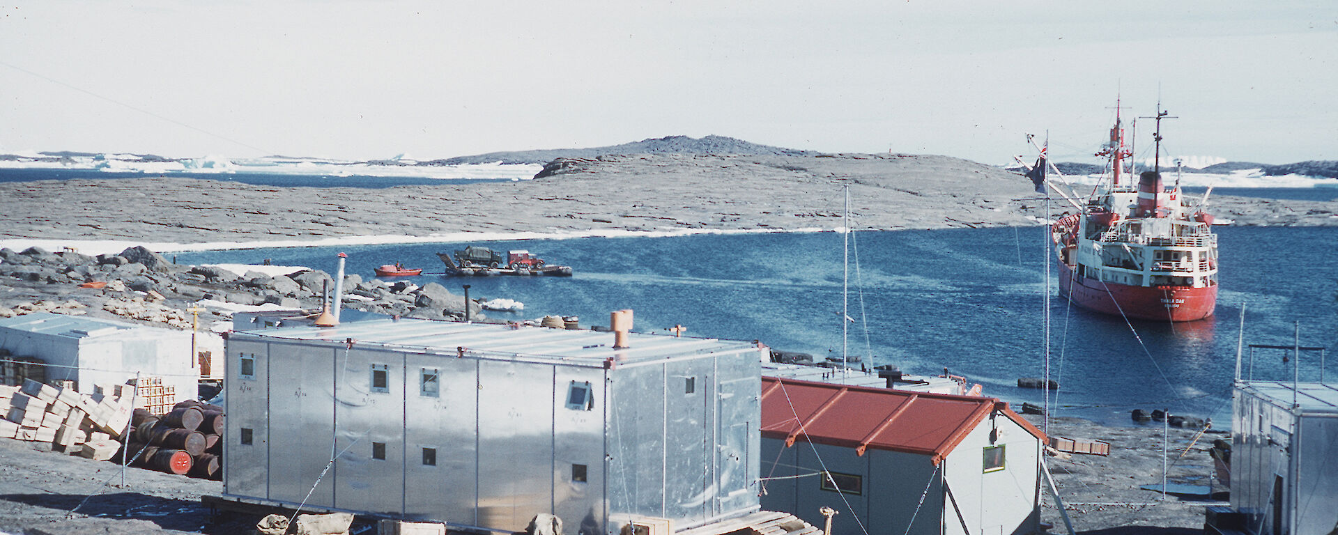
By 1966, the number of buildings at Mawson had increased to more than 50. The station had become the base for exploration of the coast east to the Amery Ice Shelf and west into Enderby Land. Major traverses of the Antarctic hinterland and aerial reconnaissance of the interior, including the Lambert Glacier and the Prince Charles Mountains, were launched from Mawson. A major development in the station’s early years was the construction in 1956 of the first aircraft hangar to be built in Antarctica. Antarctica’s premier cosmic ray observatory was carved underground out of the solid rocks on which the station is built.
Today’s Mawson station is a collection of buildings old, such as historic Biscoe Hut, and new. Mawson is now one of the longest continuously operating stations in Antarctica, and the oldest south of the Antarctic Circle.


