Thursday 11 October
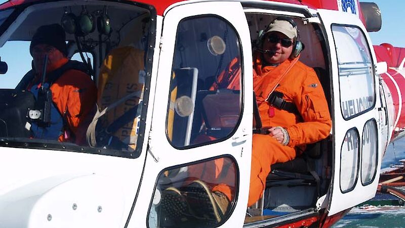
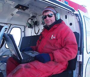
It’s difficult to become a member of the Golden Blade Club. But as marine glaciologist Dr Jan Lieser tends to spend more time in a helicopter than on the ship, he was a natural fit for this exclusive (yet unofficial) group.
Dr Lieser, from the Antarctic Climate and Ecosystems Cooperative Research Centre, is leading a small team working to obtain aerial measurements of sea ice and snow cover thickness in East Antarctica.
These measurements will be used to validate and calibrate measurements from the European Space Agency satellite, Cryosat-II. Currently, satellites provide good information about the area covered by sea ice, but satellite-borne instruments that can measure the thickness of sea ice and its snow cover are a recent addition. Once the accuracy of these instruments is confirmed, they will provide a large-scale view of the total volume of sea ice in Antarctica.
“The thickness of sea ice is regarded amongst climate scientists as one of the crucial indicators of change,” Dr Lieser says.
“When we know how the thickness of sea ice cover is changing over time, we can estimate the influence of global climate change on the Antarctic environment.”
Changes in sea ice thickness will affect the formation of cold, salty Antarctic Bottom Water that drives ocean currents around the world, and the organisms that depend on the ice for habitat and food, from phytoplankton and krill, to whales.
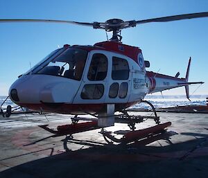
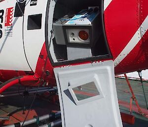
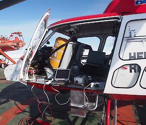
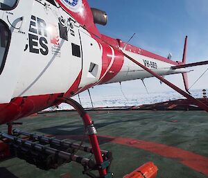
Dr Lieser is taking aerial measurements of sea ice and snow cover thickness using a range of high-tech instruments mounted in a ‘Squirrel’ helicopter nick-named the “flying toolbox”. The instrument hardware was purchased off the shelf and then wired and integrated with custom software by the Australian Antarctic Division science technical support group and the project team. After many hours or testing and refinement the final result almost doubles the value of the helicopter.
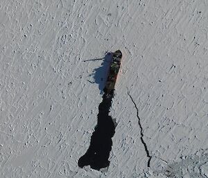
The flying toolbox includes a high resolution digital camera for aerial photographs, which gives scientists a measure of the area covered by sea ice and the type of ice – whether it is smooth or rough. A ‘pyrometer’ measures the surface temperature of the snow, ice and ocean, which will help calibrate temperature measurements from space. The pyrometer is good for classifying ice types as thin ice is warmer than thick ice.The helicopter also carries a scanning laser system (or ‘LIDAR’), which is used in combination with a snow radar — operated by radar engineer Peter Jansen — to measure the amount of snow and sea ice floating above the ocean surface (known as ‘freeboard’ or surface elevation). As snow pushes sea ice beneath the ocean surface, scientists need to measure snow thickness to work out how much ice is under the water — something that can’t be determined from space. The LIDAR and radar also provide information on how rough or smooth the snow cover is, which influences what we see on satellite images.
The helicopter also incorporates an inertial navigation and global positioning system to pinpoint the attitude and location of the helicopter in space. The data collected by this system is processed by PhD student Adam Steer and is essential for assigning aerial measurements to locations on the sea ice.
Last by not least, the helicopter carries a microwave radiometer provided by Japanese colleagues, which gives an estimate of the two dimensional area covered by sea ice. These measurements are again used to calibrate satellite data.
To capture all this information the helicopter flies in a triangular pattern over a 60x60x60 nautical mile survey area in about 2.5 hours. This survey includes the study area of scientists working on the ground (a 100–200m transect of snow and ice parameters), so that related on-ground measurements can be used to test the accuracy of those made from the air. The airborne survey thus acts as an intermediate layer between the highly detailed ground and coarse resolution satellite measurements.
The aerial measurements and photographs, in combination with on-ground and under-ice measurements (details in the next blog post), will allow scientists to produce high resolution, three-dimensional images of the sea ice.
In the meantime, Dr Lieser will continue to earn Golden Blade Club frequent flier points, which he won’t be able to trade for a front seat in the helicopter because it is always occupied by a life raft.

