


University of Tasmania Professor of Polar Geodesy, Matt King, has the weight of the world on his mind. Or rather, its mass; and in particular, the mass of Antarctica.
By understanding how Antarctica’s land mass changes in response to its icy blanket melting or accumulating over thousands of years, he and his Australian and British colleagues hope to provide better models and estimates of present-day sea-level change.
‘If we can understand the behaviour of the solid earth and how that’s changing, we can work out how the ice is changing and how that contributes to sea-level change,’ Professor King said.
When Earth started to deglaciate following the Last Glacial Maximum about 20 000 years ago, the ice that was covering and depressing the continents melted into the ocean. Over thousands of years, as the weight of ice lifted, the continents generally started to rise and the ocean basins generally began to subside.
This process, called Glacial Isostatic Adjustment (GIA) is happening in Antarctica in response to both past and present ice changes. But it’s not a consistent movement across the continent and it’s not all uplift — with thick ice and heavier snowfalls in East Antarctica likely to be depressing that part of the continent, while past and present ice loss in West Antarctica is causing it to rise.
‘The speed at which Antarctica is uplifting now depends on how and when the ice changed and the characteristics of the earth’s crust and mantle,’ Professor King said.
‘Some parts of Antarctica may have responded quickly to ice loss or gain in the past, while other areas may still be responding today.
‘By combining accurate measurements of GIA with satellite measurements of the change in Antarctica’s total mass [of land and ice], we can differentiate the mass change due to ice and calculate its contribution to today’s sea level.’
There is already comprehensive and reliable data that West Antarctica is losing ice at an accelerating rate of about 120 billion tonnes per year. However, model estimates of East Antarctica’s contribution to present day sea-level change vary from +30 to −109 billion tonnes of meltwater per year — the difference between a small contribution to sea-level rise or a substantial offset to further rise.
One of the primary reasons for this uncertainty is the limited knowledge of the GIA of East Antarctica, due to the dearth of information on how the ice sheet changed since the Last Glacial Maximum and the properties of the earth beneath the region. This is the very information that GIA models rely on for accuracy.
‘One of the largest disagreements is within the Casey-Davis sector, where predictions of present-day bedrock motion due to GIA vary between uplift of 4mm/yr and subsidence of 1mm/yr for the same location,’ Professor King said.
‘Our project aims to collect new field data on bedrock uplift and how ice thickness changed over time and apply those data to improve ice sheet reconstructions and a model of GIA. We’ll then apply our new GIA model to produce an improved estimate of East Antarctica’s contribution to present-day sea level.’
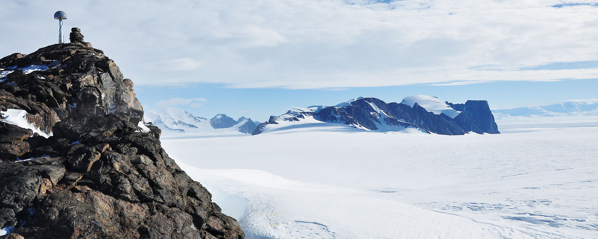
To do this the team will deploy GPS and seismometers at seven inland rock outcrops across a 1400km transect between the West Ice Shelf and the Totten Glacier, this season (see graphic). Over three years the GPS will measure horizontal and vertical movement at each location with a precision of better than 1mm/year. The seismometers will provide information on the crust and mantle characteristics such as temperature and composition, based on propagating earthquake waves from around the world.
The team will also collect ice history data from a number of sites, looking at boulders and moraine lines left by past glacier movement.
‘Chemical signatures in boulders will tell us when they were exposed to the radiation from deep space as glaciers retreated, while moraine lines will indicate the level of the ice and enable us to track its retreat,’ Professor King said.
‘These studies will help to constrain past ice sheet configurations and simulations of past ice sheet behaviour in our models.’
The installation of new GPS and seismometers deeper inland, will complement and enhance existing GPS sites established by Geoscience Australia at coastal sites including Casey, Davis Mawson and the Bunger Hills, and by the Australian National University further to the west.
The new inland data will allow Professor King and his colleagues to identify which existing GIA models and estimates of bedrock uplift are most accurate and to improve on these.
‘We’ll have the first direct observations of bedrock uplift for most of this region, which will provide truly independent data for validating GIA model predictions,’ Professor King said.
‘We’ll also be able to develop the first detailed ice loading history for the West Ice Shelf to Totten Glacier region using new observations on past ice extent. This will allow us to develop ice-sheet reconstructions that can be used to drive the GIA models for East Antarctica.’
To estimate the East Antarctic contribution to sea level, the validated GIA models will be applied to data collected by the GRACE (Gravity Recovery and Climate Experiment) satellites. These satellites, launched by NASA and the German Aerospace Centre in 2002, measure Earth’s gravity field, which is affected by the mass of ice, oceans, atmosphere and land below.
‘We can infer mass change in Antarctica from these satellite gravity measurements, but the GRACE satellites measure the total mass change, rather than the change due to ice or oceans, and so on,’ Professor King said.
‘However, using computer models — including the updated GIA models — we can separate the different components that make up the total mass. Once we’ve identified the mass change due to ice we can estimate the contribution of East Antarctica to sea level.’
Professor King is right to equate the solid earth to a ‘time machine’ — one that can finally provide a realistic insight into East Antarctica’s icy past, and a future sea level.
Wendy Pyper
Australian Antarctic Division
This project receives an Australian Antarctic Science grant, and logistics is supported through the Australian Research Council Special Research Initiative.
